Rocky Mountain
VA 
BGN PageElevation
: 4,071' (LiDAR) map: 4,072'VA Rank
: 72VA Prominence Rank
: 4Counties
: Amherst & RockbridgeQuad
: MontebelloCoords
: 37.79537°N, 79.18016°W Notice
: 37.79537°N, 79.18016°W NoticeRise
: 2,281' (LiDAR) map: 2,282'Saddle
: 1,790' (LiDAR) map: 1,790'LiDAR Notes
Line Parent
: Elliott KnobParent Lineage
Proximate Parent
: Apple Orchard MountainIsolation
: 26.44 milesAmherst & Rockbridge County Highpoint
George Washington National Forest
Submit YDS Class Rating
Weather Link
Snow Depth
CalTopo
Custom List Entries
Trip Reports:
Submit a Trip Report
Report 1
Links: peakbagger.com
Ascents:
54 members have reported ascents...
log in to view ascents
Click on map to view full-screen map
Images:
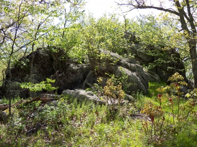 RickBaugher 06-02-2012 |  ScottSurgent 02-18-2010 |  wayfarer 02-11-2012 |
| Submit another image for this peak | ||
Click on icons for info/definitions
icons for info/definitions