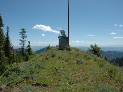
Diamond Peak
WA
Elevation: 6,387' (LiDAR)
Rise: 795'
WA Rank: 1313
WA Prominence Rank: 1303
County: Garfield
Quad: Diamond Peak
Line Parent: Oregon Butte
Proximate Parent: Oregon Butte
Garfield County Highpoint
Isolation: 6.71 miles
YDS Class: 1+ Suggest Revision
Add ascent
Weather Forecast
Snow Depth
Images:
 EricNoel 11-06-2008 |  John Roper 01-12-2010 |  Paul Klenke 02-26-2025 |
Submit another Image
Trip Reports:
Submit a Trip Report
2025-09-05 - kirkmallory
Links: peakbagger.com
Ascents:
23 members have reported ascents...
log in to view ascents