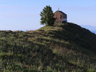
Oregon Butte
WA
Elevation: 6,394' (LiDAR)
Rise: 2,409'
WA Rank: 1308
WA Prominence Rank: 95
County: Columbia
Quad: Oregon Butte
Line Parent: Tower Mountain
Proximate Parent: 7191
Columbia County Highpoint
Wenaha-Tucannon Wilderness Highpoint
Isolation: 49.81 miles
Submit YDS Class Rating
Add ascent
Weather Forecast
Snow Depth
Images:
 BobBolton 04-09-2009 | 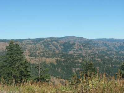 John Roper 01-12-2010 |  Paul Klenke 06-26-2026 |  Paul Klenke 02-10-2024 |
Submit another Image
Trip Reports:
Submit a Trip Report
2021-06-19 - Brian Kalet
Links: peakbagger.com
Ascents:
38 members have reported ascents...
log in to view ascents