"Mount Ernie Day"
ID
Elevation: 9,949' (LiDAR)
Rise: 563'
ID Rank: 523
ID Prominence Rank: 1915
County: Custer
Quad: Boulder Chain Lakes
Line Parent: Castle Peak
Proximate Parent: 10306
Isolation: 1.85 miles
Submit YDS Class Rating
Add ascent
Weather Forecast
Snow Depth
Images:
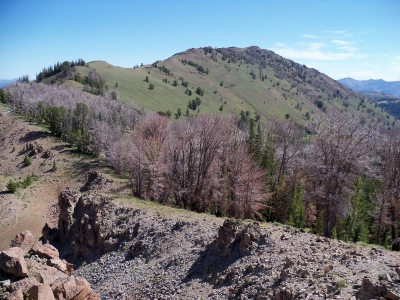 RickBaugher 03-29-2011 |
Submit another Image
Trip Reports:
Submit a Trip Report
2010-08-15 - RickBaugher
2010-08-13 - DavePahlas
Links: peakbagger.com
Ascents:
3 members have reported ascents...
log in to view ascents