"Last Lost Peak"
ID
Elevation: 11,291' (LiDAR)
Rise: 701'
ID Rank: 74
ID Prominence Rank: 1276
County: Custer
Quad: Massacre Mountain
Line Parent: "Ross Peak"
Proximate Parent: "Ross Peak"
Isolation: 1.21 miles
YDS Class: 2 Suggest Revision
Add ascent
Weather Forecast
Snow Depth
Images:
 KieranBalazs 06-23-2021 | 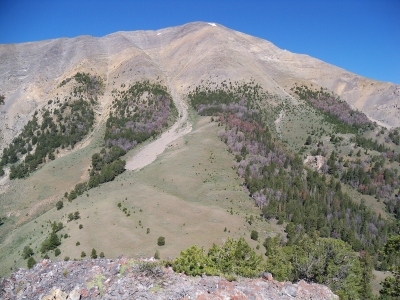 RickBaugher 08-07-2011 |  RickBaugher 03-30-2011 |  ridgedancer 07-07-2023 |
Submit another Image
Trip Reports:
Submit a Trip Report
2021-09-18 - DavePahlas
2021-06-13 - KieranBalazs
1993-07-04 - Tom Lopez
1991-08-10 - RickBaugher
Links: peakbagger.com
Ascents:
23 members have reported ascents...
log in to view ascents