"Shadow Lake Peak"
ID
Elevation: 11,430' (LiDAR)
Rise: 233'
County: Custer
Quad: Massacre Mountain
Line Parent: "Ross Peak"
Proximate Parent: "Ross Peak"
Isolation: 0.90 miles
YDS Class: 2 Suggest Revision
Add ascent
Weather Forecast
Snow Depth
Images:
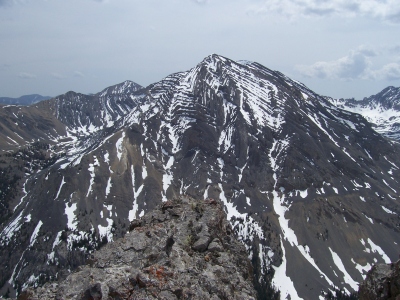 RickBaugher 03-30-2011 |
Submit another Image
Trip Reports:
Submit a Trip Report
1982-07-17 - Tom Lopez
Links: peakbagger.com
Ascents:
10 members have reported ascents...
log in to view ascents