6382
WA
Elevation: 6,382' (LiDAR)
Rise: 209'
County: Garfield
Quad: Diamond Peak
Line Parent: Diamond Peak
Proximate Parent: Diamond Peak
Isolation: 0.55 miles
Submit YDS Class Rating
Add ascent
Weather Forecast
Snow Depth
Images:
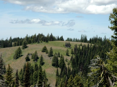 EricNoel 11-06-2008 |
Submit another Image
Trip Reports:
Submit a Trip Report
Links: peakbagger.com
Ascents:
24 members have reported ascents...
log in to view ascents