9385
CO 
Elevation
: 9,385' (LiDAR) map: 9,393'CO Rank
: 2699CO Prominence Rank
: 3431County
: EagleQuad
: The Seven HermitsCoords
: 39.57135°N, 106.84382°W Notice
: 39.57135°N, 106.84382°W NoticeRise
: 345' (LiDAR) map: 373'Saddle
: 9,040' (LiDAR) map: 9,020'Line Parent
: Hardscrabble Mountain, WestParent Lineage
Proximate Parent
: 9436Isolation
: 0.55 milesYDS Class
: 2 Discussion DisclaimerWeather Link
Snow Depth
CalTopo
Custom List Entries
Notes: Higher than location with spot elevation 9,386', verified by LiDAR. Provided map elevation is interpolation of spot elevation and next higher contour.
Trip Reports:Submit a Trip Report
Report 1
Report 2
Links: peakbagger.com
Ascents:
12 members have reported ascents...
log in to view ascents
Click on map to view full-screen map
Images:
 John Kirk 12-21-2017 | 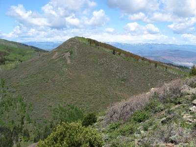 MikeRodenak 06-09-2008 |
| Submit another image for this peak | |
Click on icons for info/definitions
icons for info/definitions