Deer Ridge
WY
Elevation: 8,835' (LiDAR)
Rise: 299'
WY Rank: S
County: Teton
Quad: Doubletop Peak
Line Parent: "Flying Buttress"
Proximate Parent: "Flying Buttress"
Isolation: 2.35 miles
YDS Class: 1+ Suggest Revision
Add ascent
Weather Forecast
Snow Depth
Images:
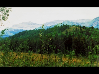 dinosaur 02-15-2023 |
Submit another Image
Trip Reports:
Submit a Trip Report
Ascents:
1 member has reported an ascent...
log in to view ascents