3078
OR
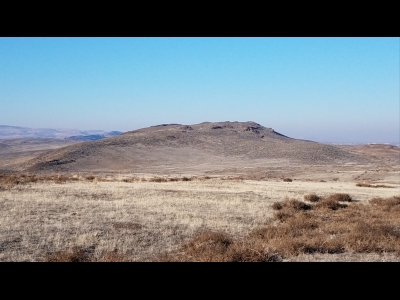
Elevation: 3,078' (LiDAR)
Rise: 283'
County: Malheur
Quad: Graveyard Point
Line Parent: 3667
Proximate Parent: 3667
Isolation: 2.03 miles
Submit YDS Class Rating
Add ascent
Weather Forecast
Snow Depth
Images:
 Xplor 12-08-2020 |
Submit another Image
Trip Reports:
Submit a Trip Report
2020-12-06 - Xplor
Ascents:
2 members have reported ascents...
log in to view ascents