Hagar Ridge
OR
Elevation: 4,089'
Rise: 29'
County: Umatilla
Quad: Gibbon
Line Parent: Black Mountain
Proximate Parent: 4568
Isolation: 5.16 miles
Submit YDS Class Rating
Add ascent
Weather Forecast
Snow Depth
Images:
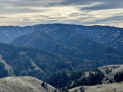 Paul Klenke 02-14-2026 |
Submit another Image
Trip Reports:
Submit a Trip Report
Ascents:
0 members have reported ascents...