10440
WY
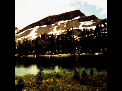
Elevation: 10,440' (LiDAR)
Rise: 282'
County: Teton
Quad: Turquoise Lake
Line Parent: 10828
Proximate Parent: Gros Benchmark
Isolation: 1.13 miles
YDS Class: 2+ Suggest Revision
Add ascent
Weather Forecast
Snow Depth
Images:
 dinosaur 02-10-2023 |
Submit another Image
Trip Reports:
Submit a Trip Report
Ascents:
1 member has reported an ascent...
log in to view ascents