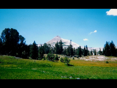
11165
WY
Elevation: 11,165' (LiDAR)
Rise: 286'
County: Sublette
Quad: Doubletop Peak
Line Parent: Doubletop Peak
Proximate Parent: Hodges Peak
Isolation: 1.16 miles
YDS Class: 2+ Suggest Revision
Add ascent
Weather Forecast
Snow Depth
Images:
 dinosaur 01-18-2020 | 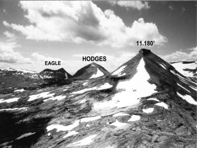 dinosaur 01-18-2020 |
Submit another Image
Trip Reports:
Submit a Trip Report
Ascents:
1 member has reported an ascent...
log in to view ascents