Mae West Peaks, East
AZ
Elevation: 6,678' (LiDAR)
Rise: 95'
County: Cochise
Quad: Dragoon
Line Parent: Mae West Peaks, West
Proximate Parent: Mae West Peaks, West
Isolation: 0.18 miles
YDS Class: 2 Suggest Revision
Add ascent
Weather Forecast
Snow Depth
Images:
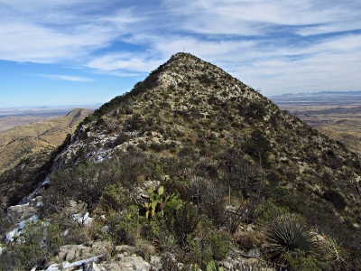 John Kirk 01-10-2017 | 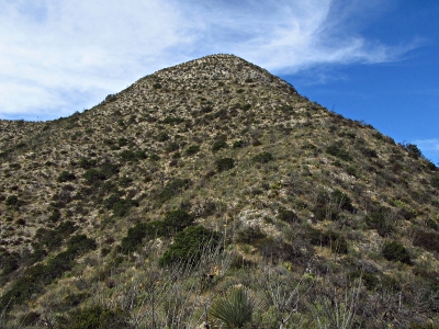 John Kirk 01-10-2017 |  John Kirk 01-10-2017 |
Submit another Image
Trip Reports:
Submit a Trip Report
2016-12-27 - John Kirk
Links: peakbagger.com
Ascents:
9 members have reported ascents...
log in to view ascents