Ladybug Peak
AZ
Elevation: 8,773' (LiDAR)
Rise: 269'
County: Graham
Quad: Stockton Pass
Line Parent: Heliograph Peak
Proximate Parent: Heliograph Peak
Isolation: 2.61 miles
YDS Class: 1+ Suggest Revision
Add ascent
Weather Forecast
Snow Depth
Images:
 John Kirk 06-08-2016 |  John Kirk 06-08-2016 | 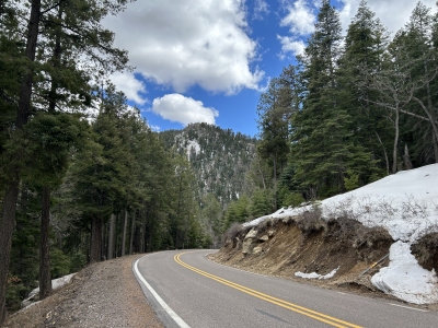 ridgedancer 03-20-2024 |
Submit another Image
Trip Reports:
Submit a Trip Report
2016-05-27 - John Kirk
Links: peakbagger.com
Ascents:
23 members have reported ascents...
log in to view ascents