Chase Hill
CO
Alternate Names: X 380 Benchmark
Elevation: 6,517'
Rise: 7'
County: Moffat
Quad: Limestone Hill
Line Parent: Tepee Benchmark
Proximate Parent: Allred Peak
Isolation: 2.76 miles
YDS Class: 2 Suggest Revision
Add ascent
Weather Forecast
Snow Depth
Images:
 lukePlumley 04-30-2018 | 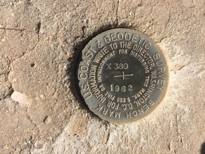 lukePlumley 04-30-2018 |
Submit another Image
Trip Reports:
Submit a Trip Report
Ascents:
4 members have reported ascents...
log in to view ascents