Smelter Hill
CO
Elevation: 6,860'
Rise: 40'
County: Moffat
Quad: Greystone
Line Parent: Tepee Benchmark
Proximate Parent: 7410
Isolation: 2.67 miles
YDS Class: 2 Suggest Revision
Add ascent
Weather Forecast
Snow Depth
Images:
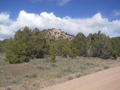 Erik Packard 05-18-2018 | 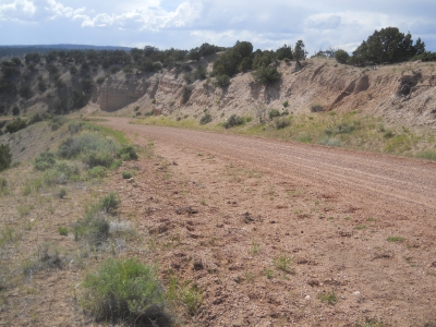 Erik Packard 05-18-2018 |
Submit another Image
Trip Reports:
Submit a Trip Report
Ascents:
2 members have reported ascents...
log in to view ascents