John Weller Mesa
CO
Elevation: 7,725' (LiDAR)
Rise: 270'
County: Moffat
Quad: Limestone Hill
Line Parent: Tepee Benchmark
Proximate Parent: Tepee Benchmark
Isolation: 2.36 miles
Submit YDS Class Rating
Add ascent
Weather Forecast
Snow Depth
Images:
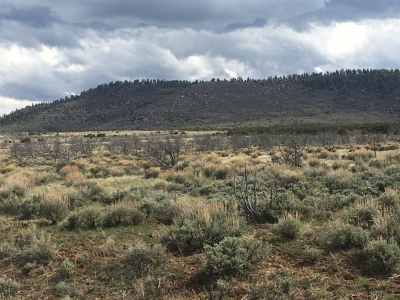 lukePlumley 05-03-2020 |
Submit another Image
Trip Reports:
Submit a Trip Report
Links: peakbagger.com
Ascents:
1 member has reported an ascent...
log in to view ascents