Limestone Ridge
CO
Elevation: 7,915' (LiDAR)
Rise: 277'
County: Moffat
Quad: Greystone
Line Parent: Perusek Benchmark
Proximate Parent: Perusek Benchmark
Isolation: 2.23 miles
Submit YDS Class Rating
Add ascent
Weather Forecast
Snow Depth
Images:
 lukePlumley 05-03-2020 | 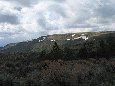 RyanKowalski 05-28-2008 |
Submit another Image
Trip Reports:
Submit a Trip Report
2008-05-24 - RyanKowalski
Ascents:
3 members have reported ascents...
log in to view ascents