Griffin Peak
WA
Elevation: 5,682'
Rise: 262'
County: Columbia
Quad: Deadman Peak
Line Parent: Table Rock
Proximate Parent: Deadman Peak
Isolation: 2.22 miles
Submit YDS Class Rating
Add ascent
Weather Forecast
Snow Depth
Images:
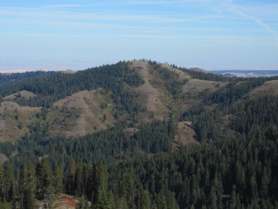 Paul Klenke 09-29-2010 | 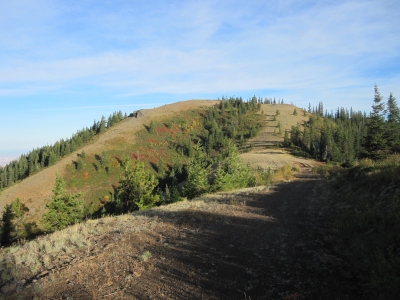 Paul Klenke 09-29-2010 |
Submit another Image
Trip Reports:
Submit a Trip Report
Links: peakbagger.com
Ascents:
1 member has reported an ascent...
log in to view ascents