Wenaha Peak
WA
Alternate Names: Squaw Peak
Elevation: 5,985' (LiDAR)
Rise: 290'
County: Columbia
Quad: Deadman Peak
Line Parent: Table Rock
Proximate Parent: Table Rock
Isolation: 0.95 miles
Submit YDS Class Rating
Add ascent
Weather Forecast
Snow Depth
Images:
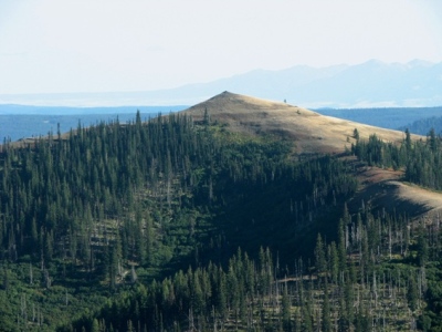 John Roper 01-12-2010 |
Submit another Image
Trip Reports:
Submit a Trip Report
Links: peakbagger.com
Ascents:
0 members have reported ascents...