8646
CO
Elevation: 8,646' (LiDAR)
Rise: 286'
County: Moffat
Quad: Jack Springs
Line Parent: Zenobia Peak
Proximate Parent: Zenobia Peak
Isolation: 1.84 miles
YDS Class: 2 Suggest Revision
Add ascent
Weather Forecast
Snow Depth
Images:
 Erik Packard 06-09-2019 | 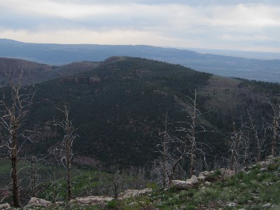 John Kirk |  lukePlumley 11-12-2018 |
Submit another Image
Trip Reports:
Submit a Trip Report
Links: peakbagger.com
Ascents:
2 members have reported ascents...
log in to view ascents