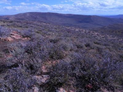
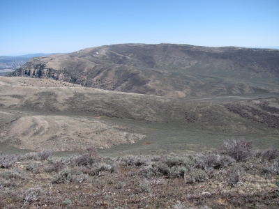
Tanks Peak
CO
Alternate Names: Youghall Benchmark
Elevation: 8,721' (LiDAR)
Rise: 2,275'
CO Rank: 3152
CO Prominence Rank: 61
County: Moffat
Quad: Tanks Peak
Line Parent: Yellow Jacket Benchmark
Proximate Parent: Zenobia Peak
Isolation: 13.72 miles
YDS Class: 1 Suggest Revision
Add ascent
Weather Forecast
Snow Depth
Images:
 Erik Packard 05-24-2017 |  Erik Packard 06-09-2015 | 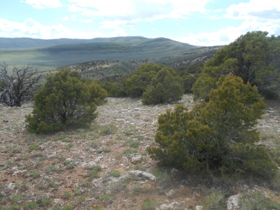 Erik Packard 06-09-2015 |  Erik Packard 11-05-2013 |
 Erik Packard 10-14-2013 |  John Kirk 04-20-2016 |  John Kirk 03-07-2022 |  John Kirk |
 lukePlumley 04-11-2015 |
Submit another Image
Trip Reports:
Submit a Trip Report
2016-11-05 - TeresaGergen
Links: peakbagger.com
Ascents:
41 members have reported ascents...
log in to view ascents