Buttes West, The
ID
Elevation: 5,926' (LiDAR)
Rise: 145'
County: Owyhee
Quad: Bedstead Ridge
Line Parent: Juniper Mountain
Proximate Parent: Bald Mountain
Isolation: 3.09 miles
Submit YDS Class Rating
Add ascent
Weather Forecast
Snow Depth
Images:
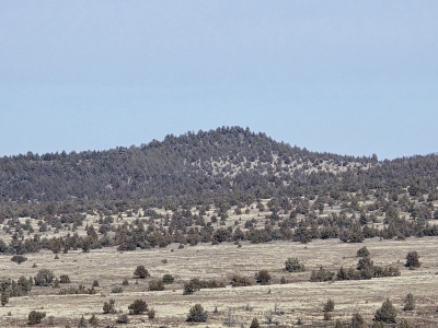 Kadenplatt 02-02-2026 |
Submit another Image
Trip Reports:
Submit a Trip Report
Links: peakbagger.com
Ascents:
0 members have reported ascents...