Deer Point
ID
Elevation: 7,085' (LiDAR)
Rise: 222'
County: Boise
Quad: Shafer Butte
Line Parent: Shafer Butte
Proximate Parent: Shafer Butte
Isolation: 1.23 miles
Submit YDS Class Rating
Add ascent
Weather Forecast
Snow Depth
Images:
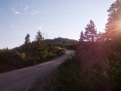 Eric Waag 07-12-2013 |
Submit another Image
Trip Reports:
Submit a Trip Report
Links: peakbagger.com
Ascents:
18 members have reported ascents...
log in to view ascents