Mills, Mount
ID
Elevation: 9,185'
Rise: 205'
County: Custer
Quad: Soldier Creek
Line Parent: 9242
Proximate Parent: 9242
Isolation: 0.50 miles
YDS Class: 2 Suggest Revision
Add ascent
Weather Forecast
Snow Depth
Images:
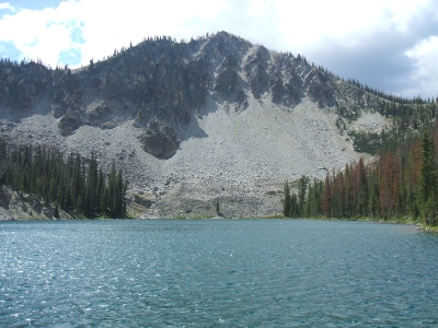 jaimos 08-16-2020 |
Submit another Image
Trip Reports:
Submit a Trip Report
Links: peakbagger.com
Ascents:
3 members have reported ascents...
log in to view ascents