Langer Peak
ID
Elevation: 9,330' (LiDAR)
Rise: 360'
ID Rank: 943
ID Prominence Rank: 4316
County: Custer
Quad: Langer Peak
Line Parent: 9356
Proximate Parent: 9356
Isolation: 0.94 miles
YDS Class: 2 Suggest Revision
Add ascent
Weather Forecast
Snow Depth
Images:
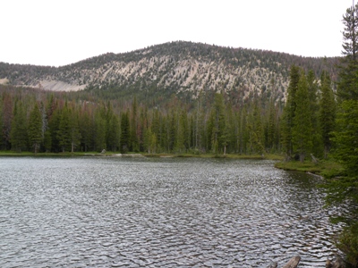 zdvickery 07-15-2009 |
Submit another Image
Trip Reports:
Submit a Trip Report
Links: peakbagger.com
Ascents:
6 members have reported ascents...
log in to view ascents