Flat Top
ID
Elevation: 9,500'
Rise: 160'
County: Custer
Quad: Porphyry Peak
Line Parent: 9938
Proximate Parent: Porphyry Peak
Isolation: 2.08 miles
Submit YDS Class Rating
Add ascent
Weather Forecast
Snow Depth
Images:
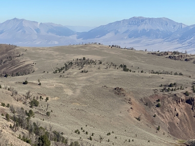 DerekPercoski 09-24-2021 |
Submit another Image
Trip Reports:
Submit a Trip Report
Ascents:
2 members have reported ascents...
log in to view ascents