Horton Peak
ID
Elevation: 9,901' (LiDAR)
Rise: 258'
County: Custer
Quad: Horton Peak
Line Parent: 9928
Proximate Parent: 9928
Isolation: 0.82 miles
YDS Class: 1 Suggest Revision
Add ascent
Weather Forecast
Snow Depth
Images:
 DavePahlas 12-19-2020 |  DerekPercoski 08-27-2024 | 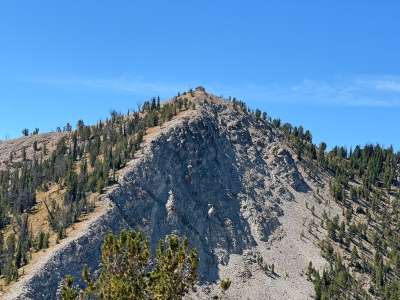 DerekPercoski 08-27-2024 |
Submit another Image
Trip Reports:
Submit a Trip Report
2020-10-09 - DavePahlas
2006-08-26 - DavePahlas
Links: peakbagger.com
Ascents:
22 members have reported ascents...
log in to view ascents