10335
ID
Elevation: 10,335' (LiDAR)
Rise: 72'
County: Blaine
Quad: Rock Roll Canyon
Line Parent: "Divide Peak"
Proximate Parent: "Divide Peak"
Isolation: 0.70 miles
YDS Class: 3 Suggest Revision
Add ascent
Weather Forecast
Snow Depth
Images:
 RickBaugher 08-30-2012 | 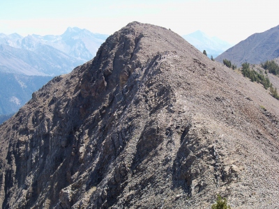 RickBaugher 08-30-2012 |
Submit another Image
Trip Reports:
Submit a Trip Report
2023-11-15 - DerekPercoski
2012-08-30 - RickBaugher
Links: peakbagger.com
Ascents:
17 members have reported ascents...
log in to view ascents