Grays Peak
ID
Elevation: 10,567' (LiDAR)
Rise: 1,211'
ID Rank: 251
ID Prominence Rank: 382
County: Blaine
Quad: Grays Peak
Line Parent: "Iron Mountain"
Proximate Parent: "Iron Mountain"
Isolation: 3.01 miles
YDS Class: 2 Suggest Revision
Add ascent
Weather Forecast
Snow Depth
Images:
 DerekPercoski 06-11-2021 | 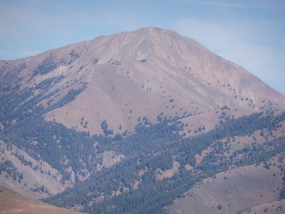 RickBaugher 09-26-2011 | 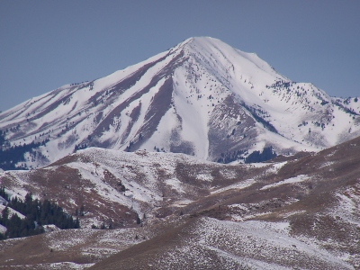 RickBaugher 01-06-2012 |  RickBaugher 03-29-2011 |
Submit another Image
Trip Reports:
Submit a Trip Report
2010-07-09 - tomc
Links: peakbagger.com
Ascents:
34 members have reported ascents...
log in to view ascents