"The Ledge"
ID
Elevation: 10,578' (LiDAR)
Rise: 556'
ID Rank: 244
ID Prominence Rank: 1988
County: Lemhi
Quad: Mogg Mountain
Line Parent: "The Wedge"
Proximate Parent: "The Wedge"
Isolation: 1.10 miles
YDS Class: 3 Suggest Revision
Add ascent
Weather Forecast
Snow Depth
Images:
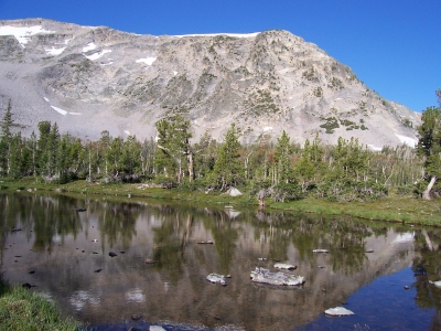 RickBaugher 04-07-2013 | 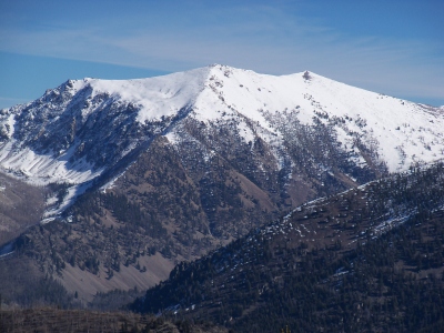 RickBaugher 10-19-2013 |
Submit another Image
Trip Reports:
Submit a Trip Report
1996-10-06 - RickBaugher
Links: peakbagger.com
Ascents:
3 members have reported ascents...
log in to view ascents