"Mallory Peak"
ID
Elevation: 10,606' (LiDAR)
Rise: 516'
ID Rank: 232
ID Prominence Rank: 2319
County: Blaine
Quad: Rock Roll Canyon
Line Parent: 10607
Proximate Parent: 10607
Isolation: 1.17 miles
YDS Class: 3 Suggest Revision
Add ascent
Weather Forecast
Snow Depth
Images:
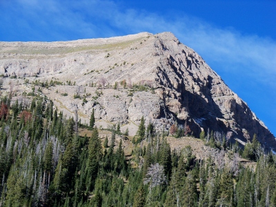 RickBaugher 03-29-2011 |
Submit another Image
Trip Reports:
Submit a Trip Report
2011-11-09 - DavePahlas
2004-07-14 - RickBaugher
Links: peakbagger.com
Ascents:
19 members have reported ascents...
log in to view ascents