"Mount Frank"
ID
Elevation: 10,859' (LiDAR)
Rise: 593'
ID Rank: 151
ID Prominence Rank: 1755
County: Custer
Quad: Boulder Chain Lakes
Line Parent: "Lonesome Peak"
Proximate Parent: Merriam Peak
Isolation: 1.15 miles
YDS Class: 2+ Suggest Revision
Add ascent
Weather Forecast
Snow Depth
Images:
 RickBaugher 03-30-2011 | 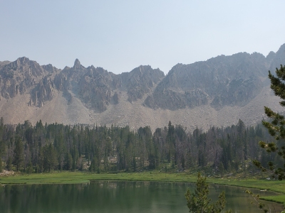 tomc 07-12-2021 |
Submit another Image
Trip Reports:
Submit a Trip Report
2019-08-07 - DerekPercoski
2013-06-28 - DavePahlas
2009-08-11 - RickBaugher
2009-08-11 - RickBaugher
Links: peakbagger.com
Ascents:
9 members have reported ascents...
log in to view ascents