"The Moat"
ID
Elevation: 11,497' (LiDAR)
Rise: 591'
ID Rank: 52
ID Prominence Rank: 1767
County: Custer
Quad: Massacre Mountain
Line Parent: "Far Away Mountain"
Proximate Parent: "Far Away Mountain"
Isolation: 1.10 miles
YDS Class: 3 Suggest Revision
Add ascent
Weather Forecast
Snow Depth
Images:
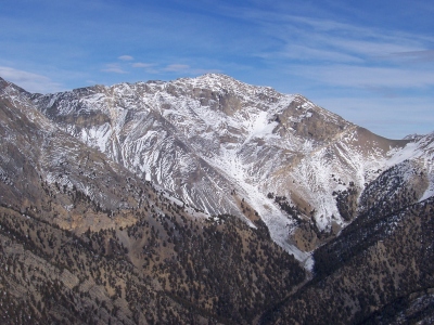 RickBaugher 03-30-2011 | 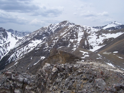 RickBaugher 03-28-2011 |
Submit another Image
Trip Reports:
Submit a Trip Report
2021-09-05 - Tom Lopez
2021-06-15 - KieranBalazs
2012-06-21 - DavePahlas
1993-10-02 - RickBaugher
Links: peakbagger.com
Ascents:
23 members have reported ascents...
log in to view ascents