"North Lost River Peak"
ID
Elevation: 12,039' (LiDAR)
Rise: 236'
County: Custer
Quad: Leatherman Peak
Line Parent: "Lost River Mountain"
Proximate Parent: "Lost River Mountain"
Isolation: 0.39 miles
YDS Class: 3 Suggest Revision
Add ascent
Weather Forecast
Snow Depth
Images:
 John Kirk 03-07-2025 |  John Kirk 03-07-2025 | 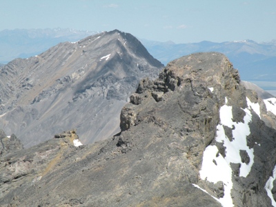 zdvickery 07-27-2010 |
Submit another Image
Trip Reports:
Submit a Trip Report
Links: peakbagger.com
Ascents:
12 members have reported ascents...
log in to view ascents