Castle Rock Spire
MT
Elevation: 12,525' (LiDAR)
Rise: 193'
County: Carbon
Quad: Castle Mountain
Line Parent: "Rainbow Peak"
Proximate Parent: "Rainbow Peak"
Isolation: 0.12 miles
YDS Class: 5.6 Suggest Revision
Add ascent
Weather Forecast
Snow Depth
Images:
 John Kirk 08-28-2024 | 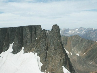 TWorth |
Submit another Image
Trip Reports:
Submit a Trip Report
Links: peakbagger.com
Ascents:
0 members have reported ascents...