10195
MT
Elevation: 10,195' (LiDAR)
Rise: 521'
MT Rank: 377
MT Prominence Rank: 2453
County: Beaverhead
Quad: Eighteenmile Peak
Line Parent: "Dianes Peak"
Proximate Parent: "Dianes Peak"
Isolation: 1.29 miles
YDS Class: 2 Suggest Revision
Add ascent
Weather Forecast
Snow Depth
Images:
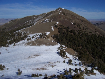 RickBaugher 03-29-2011 |
Submit another Image
Trip Reports:
Submit a Trip Report
2007-10-06 - RickBaugher
Links: peakbagger.com
Ascents:
3 members have reported ascents...
log in to view ascents