Spires, The
MT
Elevation: 11,999' (LiDAR)
Rise: 209'
County: Park
Quad: Granite Peak
Line Parent: Villard, Mount
Proximate Parent: Villard, Mount
Isolation: 0.53 miles
YDS Class: 3 Suggest Revision
Add ascent
Weather Forecast
Snow Depth
Images:
 John Kirk 09-24-2019 | 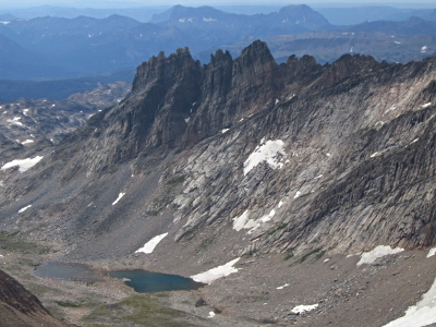 John Kirk 09-24-2019 |  KieranBalazs 08-06-2018 |
Submit another Image
Trip Reports:
Submit a Trip Report
2021-07-26 - KieranBalazs
Links: peakbagger.com
Ascents:
6 members have reported ascents...
log in to view ascents