Peal, Mount
MT
Elevation: 12,418' (LiDAR)
Rise: 547'
MT Rank: 9
MT Prominence Rank: 2297
County: Carbon
Quad: Granite Peak
Line Parent: Tempest Mountain
Proximate Parent: Tempest Mountain
Isolation: 1.02 miles
YDS Class: 2+ Suggest Revision
Add ascent
Weather Forecast
Snow Depth
Images:
 John Kirk 09-24-2019 |  John Kirk 09-24-2019 | 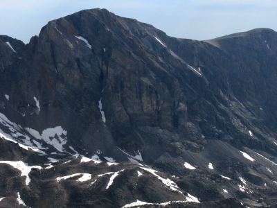 KieranBalazs 08-06-2018 |
Submit another Image
Trip Reports:
Submit a Trip Report
Links: peakbagger.com
Ascents:
9 members have reported ascents...
log in to view ascents