Silver Run Peak
MT
Elevation: 12,548' (LiDAR)
Rise: 1,518'
MT Rank: 6
MT Prominence Rank: 291
County: Carbon
Quad: Silver Run Peak
Line Parent: Whitetail Peak
Proximate Parent: Whitetail Peak
Isolation: 2.57 miles
YDS Class: 2 Suggest Revision
Add ascent
Weather Forecast
Snow Depth
Images:
 John Kirk 05-14-2024 | 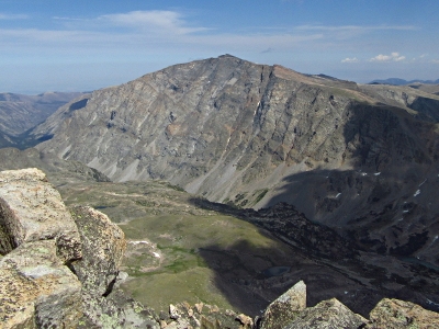 John Kirk 11-25-2020 |  John Kirk 11-25-2020 |  KieranBalazs 02-07-2018 |
 kirkmallory 09-11-2024 | 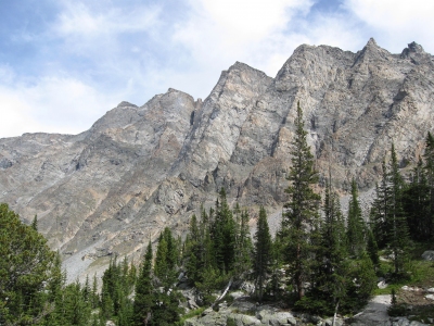 ScottPatterson 01-07-2018 |
Submit another Image
Trip Reports:
Submit a Trip Report
2024-09-08 - kirkmallory
2023-08-19 - John Kirk
2000-07-00 - KieranBalazs
Links: peakbagger.com
Ascents:
15 members have reported ascents...
log in to view ascents