"East Gilbert"
UT
Elevation: 12,847' (LiDAR)
Rise: 249'
Counties: Duchesne & Summit
Quad: Kings Peak
Line Parent: Gilbert Peak
Proximate Parent: Gilbert Peak
Isolation: 1.04 miles
Submit YDS Class Rating
Add ascent
Weather Forecast
Snow Depth
Images:
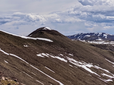 Kiefer Thomas 06-04-2020 |
Submit another Image
Trip Reports:
Submit a Trip Report
Links: peakbagger.com
Ascents:
2 members have reported ascents...
log in to view ascents