"Striped Peak"
ID
Elevation: 10,608'
Rise: 156'
County: Clark
Quad: Eightmile Canyon
Line Parent: Shril Benchmark
Proximate Parent: Shril Benchmark
Isolation: 0.54 miles
Submit YDS Class Rating
Add ascent
Weather Forecast
Snow Depth
Images:
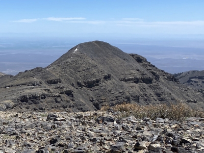 DerekPercoski 06-10-2021 |
Submit another Image
Trip Reports:
Submit a Trip Report
1991-08-24 - RickBaugher
Ascents:
4 members have reported ascents...
log in to view ascents