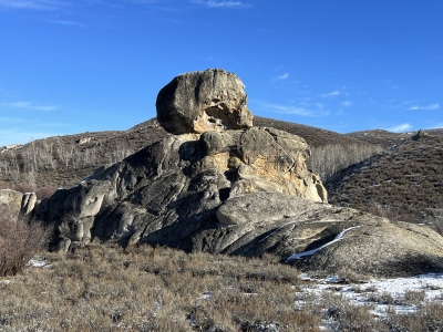
Skull Rock
ID
Elevation: 5,261' (LiDAR)
Rise: 62'
County: Elmore
Quad: Cat Creek Summit
Line Parent: 5914
Proximate Parent: 5914
Isolation: 1.31 miles
Submit YDS Class Rating
Add ascent
Weather Forecast
Snow Depth
Images:
 DerekPercoski 11-29-2023 |
Submit another Image
Trip Reports:
Submit a Trip Report
Ascents:
1 member has reported an ascent...
log in to view ascents