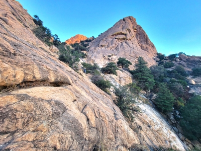
"Waterfall Dome"
AZ
Elevation: 5,950'
Rise: 20'
County: Cochise
Quad: Cochise Stronghold
Line Parent: 6541
Proximate Parent: 6541
Isolation: 0.27 miles
YDS Class: 2 Suggest Revision
Add ascent
Weather Forecast
Snow Depth
Images:
 SarahT 12-01-2021 |
Submit another Image
Trip Reports:
Submit a Trip Report
Ascents:
2 members have reported ascents...
log in to view ascents