Diamond Mountain, West
UT
Elevation: 7,789' (LiDAR)
Rise: 269'
County: Uintah
Quad: Island Park
Line Parent: Limber Flag
Proximate Parent: 8104
Isolation: 6.73 miles
YDS Class: 1 Suggest Revision
Add ascent
Weather Forecast
Snow Depth
Images:
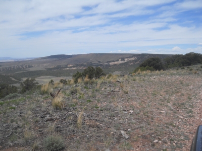 Erik Packard 05-31-2021 |
Submit another Image
Trip Reports:
Submit a Trip Report
Links: peakbagger.com
Ascents:
2 members have reported ascents...
log in to view ascents