8565
UT
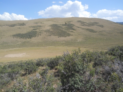
Elevation: 8,565' (LiDAR)
Rise: 124'
County: Summit
Quad: Hoop Lake
Line Parent: 8567
Proximate Parent: 8567
Isolation: 0.54 miles
YDS Class: 2 Suggest Revision
Add ascent
Weather Forecast
Snow Depth
Images:
 Erik Packard 07-28-2020 |
Submit another Image
Trip Reports:
Submit a Trip Report
Ascents:
2 members have reported ascents...
log in to view ascents