Dyer Mountain
UT
Elevation: 10,255' (LiDAR)
Rise: 653'
UT Rank: 337
UT Prominence Rank: 890
County: Uintah
Quad: Dyer Mountain
Line Parent: 10434
Proximate Parent: 10434
Isolation: 5.71 miles
Submit YDS Class Rating
Add ascent
Weather Forecast
Snow Depth
Images:
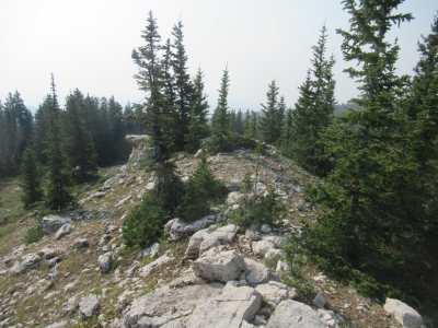 Walt 08-25-2020 |
Submit another Image
Trip Reports:
Submit a Trip Report
Links: peakbagger.com
Ascents:
4 members have reported ascents...
log in to view ascents