Flat Top Mountain
UT
Elevation: 12,169' (LiDAR)
Rise: 35'
County: Summit
Quad: Mount Powell
Line Parent: Powell, Mount
Proximate Parent: Powell, Mount
Isolation: 1.90 miles
YDS Class: 2 Suggest Revision
Add ascent
Weather Forecast
Snow Depth
Images:
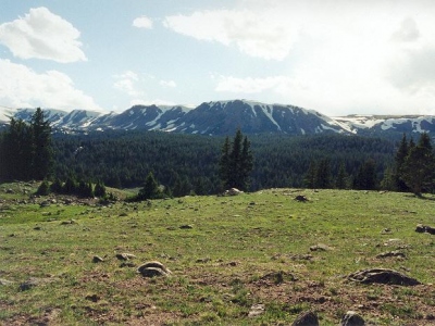 Paul Klenke 11-12-2010 |
Submit another Image
Trip Reports:
Submit a Trip Report
2023-07-05 - TeresaGergen
Links: peakbagger.com
Ascents:
6 members have reported ascents...
log in to view ascents