Paul Benchmark
UT
Elevation: 12,319' (LiDAR)
Rise: 696'
UT Rank: 58
UT Prominence Rank: 771
County: Duchesne
Quad: Garfield Basin
Line Parent: "South Timothy Peak"
Proximate Parent: "South Timothy Peak"
Isolation: 2.46 miles
YDS Class: 2 Suggest Revision
Add ascent
Weather Forecast
Snow Depth
Images:
 John Kirk 07-25-2018 |  John Kirk 07-25-2018 |  John Kirk 07-25-2018 | 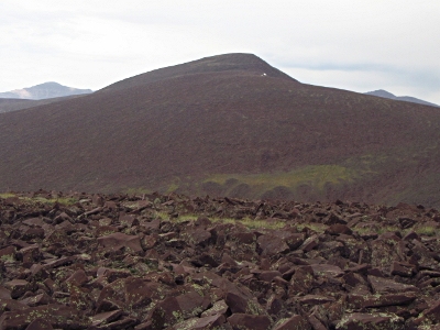 John Kirk 07-25-2018 |
 John Kirk 07-25-2018 |
Submit another Image
Trip Reports:
Submit a Trip Report
2018-07-07 - John Kirk
Links: peakbagger.com
Ascents:
7 members have reported ascents...
log in to view ascents